Earthquake Details
Lospalos, Timor Leste 6.2m Earthquake, Friday May. 27 2022, 11:36:05 AM
Lospalos, Timor Leste Earthquake
The USGS has reported a 6.2 magnitude earthquake has struck 38 km NE of Lospalos, Timor Leste on May. 27 2022, 11:36:05 AM, at a depth of 49 km. There were no significant injuries or damage reported at this point, Friendly Forecast will update this report as events unfold.
Did you feel it?
23 others have felt the Lospalos, Timor Leste earthquake and have since reported it. See below for the response locations and intensities.
 Community Internet Intensity Map
| Responses | Location | Shaking | Distance |
|---|---|---|---|
| 3 | Coonawarra, Coonawarra, Northern Territory, Australia | LIGHT | 611 km |
| 1 | Darwin, Darwin, Northern Territory, Australia | LIGHT | 613 km |
| 4 | Howard Springs, Howard Springs, Northern Territory, Australia | LIGHT | 630 km |
| 1 | Katherine, Katherine, Northern Territory, Australia | LIGHT | 883 km |
| 1 | Kununurra, Kununurra, Western Australia, Australia | LIGHT | 848 km |
| 1 | Baucau, Baucau, Baucau, East Timor | MODERATE | 98 km |
| 1 | Dare, Dare, Dili, East Timor | LIGHT | 189 km |
| 6 | Dili, Dili, Dili, East Timor | LIGHT | 189 km |
| 1 | Lautem, Lautem, Lautem, East Timor | LIGHT | 61 km |
| 1 | Same, Same, Manufahi, East Timor | LIGHT | 196 km |
| 1 | Viqueque, Viqueque, Viqueque, East Timor | STRONG | 125 km |
| 1 | Ende, Ende, Nusa Tenggara Timur, Indonesia | LIGHT | 617 km |
Did you feel the 6.2 Lospalos, Timor Leste earthquake? If you felt the quake you can report it here to the USGS.
Other Imagery and Data
 GEO Community Internet Intensity Map
 Intensity vs Distance Plot
 Responses vs Time Plot
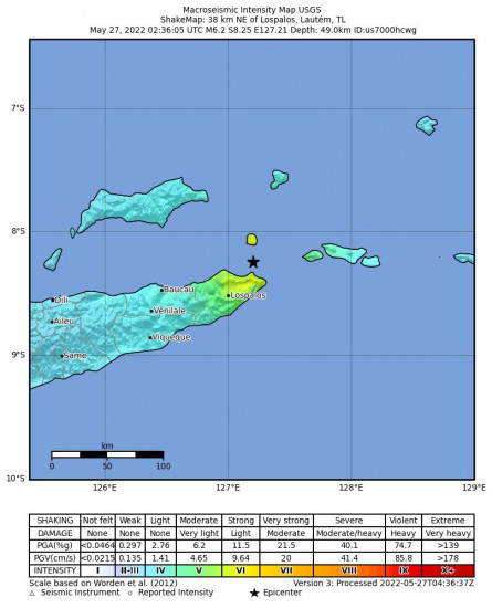 Macroseismic Intensity Map
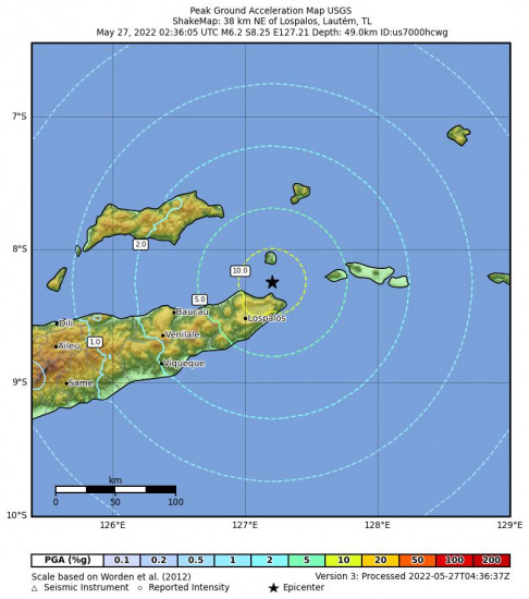 Peak Ground Acceleration Map
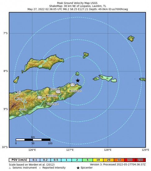 Peak Ground Velocity Map
 0.3 Second Peak Spectral Acceleration Map
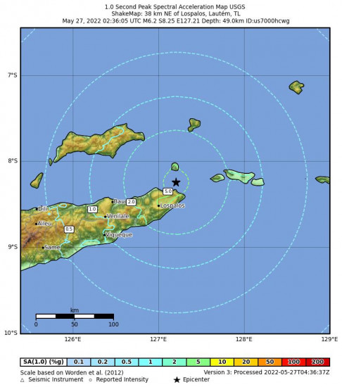 1 Second Peak Spectral Acceleration Map
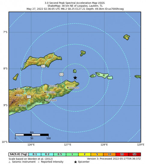 3 Second Peak Spectral Acceleration Map
World Earthquake Watch
Below are the most recent earthquakes that have happened around the world. Visit our World Earthquake Watch page for a more complete list.
Patea, New Zealand 4.3 M Earthquake, Friday Apr. 26 2024, 8:34:11 PMPāhala, Hawaii 2.8 M Earthquake, Thursday Apr. 25 2024, 8:48:37 PMSouth Sandwich Islands Region 5.0 M Earthquake, Friday Apr. 26 2024, 12:56:31 AMSan Antonio, Puerto Rico 3.6 M Earthquake, Thursday Apr. 25 2024, 3:39:27 PMHalibut Cove, Alaska 3.5 M Earthquake, Thursday Apr. 25 2024, 5:44:56 AMSmiths Ferry, Idaho 3.1 M Earthquake, Thursday Apr. 25 2024, 7:04:36 AMPrague, Oklahoma 2.6 M Earthquake, Thursday Apr. 25 2024, 6:14:00 AMSaipan, Northern Mariana Islands 5.1 M Earthquake, Thursday Apr. 25 2024, 7:09:03 PMKermadec Islands Region 5.5 M Earthquake, Thursday Apr. 25 2024, 5:07:36 PMAlbardón, Argentina 4.4 M Earthquake, Thursday Apr. 25 2024, 1:28:45 AM


